
SENSING_AS_A_SERVICE
Perception on Demand. Send standard 2D video. Receive structured, volumetric 3D understanding. No LiDAR. No specialized hardware. Just an API call.
01_VALUE_PROPOSITION
Traditional sensing requires expensive hardware: LiDAR, structured light sensors, calibrated stereo rigs, and the specialized edge-compute to process their data.
Sensing as a Service flips this. A client provides standard 2D visual data (the cheapest and most abundant data type), and our API returns structured, volumetric understanding. We sell the extraction of physical reality from flat pixels.
Doing this at high frequency means we aren't just creating static 3D models. We are enabling real-time environmental awareness for any system with a camera.
02_PRICING_MODEL
A strict Free Tier + Pay-As-You-Go model. No subscriptions. No shelfware. Your revenue scales exactly with the value you derive.
FREE TIER
The sandbox. Test the pipeline, validate spatial alignment, prove the concept to stakeholders -without asking for a budget.
- Limited frames per month
- Standard output formats
- API key access
- Community support
PAY-AS-YOU-GO
Pay strictly for what you consume. Metered by gigapixel, per frame, or per compute-second. Scale to 10,000 hours of footage in a weekend, then back to zero.
- Per-frame or per-second billing
- Volume discounts at scale
- Priority compute queue
- All output formats
ENTERPRISE
Dedicated compute, private deployment, custom SLAs. For organizations processing continuous spatial data at industrial scale.
- Dedicated GPU clusters
- On-premise deployment option
- Custom SLA & support
- Raw pipeline access
03_ZERO_SUBSCRIPTIONS
Subscriptions create artificial bottlenecks. R&D teams, startups, and cyclical industries have highly variable workloads. A flat monthly fee is a deterrent when you only need to process data in bursts.
Removing subscriptions removes the risk of shelfware. If an enterprise needs to process 10,000 hours of factory footage in a weekend, they scale up instantly, pay for the compute spike, and scale back to zero the next day. No waste. No commitment friction.
04_INDUSTRY_APPLICATIONS
How Sensing as a Service solves specific problems across key verticals:
E-Commerce & Retail

Shoppers scan their room or feet with a smartphone, then simulate whether a sofa fits their living room or whether shoes match their style — before purchasing. Reduces returns, increases buyer confidence.
USED CARS & REAL ESTATE:Convert vehicle interiors and property rooms into 3D walkthroughs viewable on any web browser. Especially powerful for global real estate investors who cannot visit in person — the 3D model becomes a decisive judgment tool, bridging distance and building trust.
Infrastructure Inspection & Construction
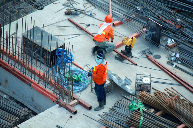
Field workers with no surveying expertise can photograph structures — cracks, deformations, construction progress — and instantly generate 3D records. Engineers at headquarters analyze the data remotely, reducing the need for specialist site visits and dramatically cutting costs.
DISASTER RECOVERY:In the aftermath of earthquakes, floods, or structural failures, responders can scan damaged sites with a smartphone. The instant 3D model allows remote engineers to assess structural integrity, prioritize repairs, and coordinate relief efforts — all without being physically present at a dangerous scene.
Entertainment & Social Media
Instead of flat photos or videos, capture an entire spatial moment — a birthday party, a childhood bedroom, a wedding venue — as a fully explorable 3D environment. As devices like Apple Vision Pro become mainstream, demand for "spatial albums" will surge, turning personal memories into immersive experiences.
3D USER-GENERATED CONTENT:Gamers and metaverse creators can scan real-world objects — toys, clothes, household items — and import them directly as 3D assets into games or virtual worlds. This bridges the physical and digital, democratizing content creation and unlocking a new economy of personalized virtual items.
Insurance & Healthcare

After a traffic accident, the involved party simply walks around the vehicle with their smartphone. The resulting 3D model precisely captures damage extent, spatial relationships, and impact points — providing insurers with objective, tamper-resistant evidence and dramatically accelerating claim processing.
REMOTE MEDICAL DIAGNOSIS:Patients scan affected body areas — swelling, joint deformity, wound progression — as a 3D model that physicians can examine from any angle remotely. This enhances diagnostic accuracy beyond what 2D photos allow, making telemedicine meaningfully more effective, especially in regions with limited specialist access.
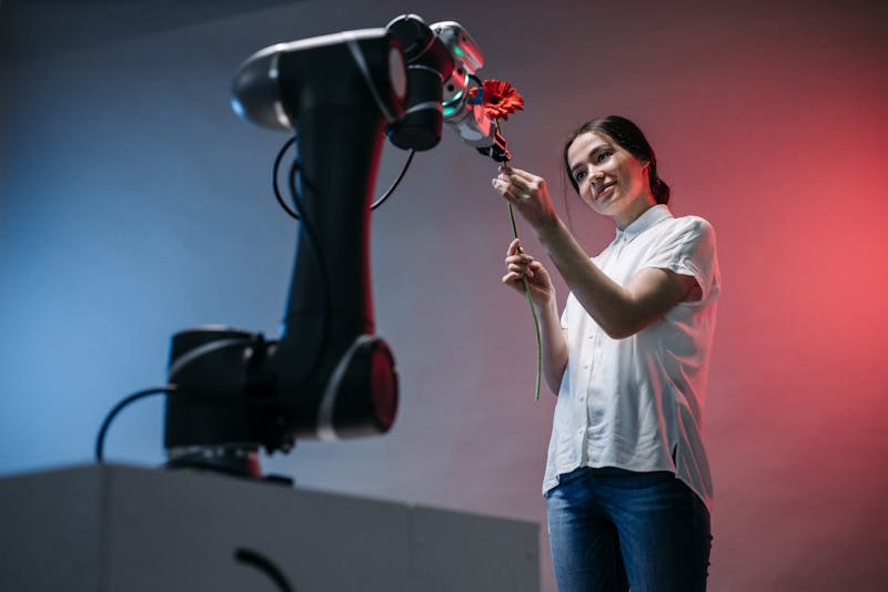
Autonomous Systems & Agentic AI

Training autonomous agents requires massive amounts of 3D spatial data, but equipping every data-collection drone or robot with LiDAR is cost-prohibitive.
SOLUTION:Capture thousands of hours of standard 2D video using cheap fleet cameras and pipe it through the API. The pipeline returns the dense 3D point clouds needed to train navigation and collision-avoidance models — at a fraction of the cost of LiDAR data collection.
Manufacturing & Industrial Digital Twins

Creating a digital twin of a factory floor for simulation or safety monitoring usually requires halting production for specialized laser scanning.
SOLUTION:Existing security or monitoring cameras provide continuous 2D streams. The service periodically samples these feeds to update a live 3D volumetric map of the factory, tracking inventory volume or identifying spatial hazards — without deploying new hardware.
Indoor Navigation for Autonomous Robots
Warehouse robots, delivery bots, and cleaning autonomy require real-time 3D maps of indoor environments. Traditional SLAM systems need expensive LiDAR or depth sensors, and pre-mapped environments go stale as furniture and inventory move.
SOLUTION:A single video camera on the robot continuously streams to the API, which returns real-time 3D reconstructions and obstacle maps. The robot navigates using dense spatial understanding from monocular video alone — no LiDAR, no pre-mapping, always up-to-date. Scales to any indoor environment with zero hardware upgrades.
Smart Glasses for Visually Impaired Navigation
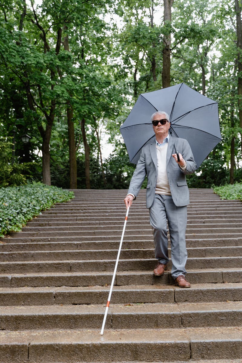
Blind and visually impaired individuals rely on canes and guide dogs for navigation. Existing assistive tech provides limited spatial awareness — detecting obstacles at close range but offering no understanding of room layout, doorways, stairs, or objects at a distance.
SOLUTION:Smart glasses equipped with only a standard video camera stream to the API, which returns a real-time 3D spatial model of the environment. On-device audio cues guide the wearer: "doorway 3 meters ahead on your left," "stairs descending in 5 steps," "chair at knee height, 1 meter right." Full 3D scene understanding from a single camera — no depth sensor required — making spatial awareness accessible to everyone.
Travel & Hospitality

Travelers choose hotels, vacation rentals, and destinations based on flat 2D photos that often misrepresent room size, layout, and actual conditions. Tour operators struggle to differentiate from competitors when everyone uses the same stock photography. Heritage sites and museums lose visitors who can't justify the trip without knowing what they'll experience.
SOLUTION:Hotels and rental hosts scan rooms with a smartphone to create interactive 3D walkthroughs — guests explore the exact space before booking, eliminating surprises and reducing cancellations. Tour operators offer "3D previews" of destinations, letting travelers virtually walk through landmarks, trails, and cultural sites. Museums digitize entire exhibitions as explorable 3D environments, extending their reach globally and creating a new revenue stream from virtual admission.
Military & Defense Drone Operations
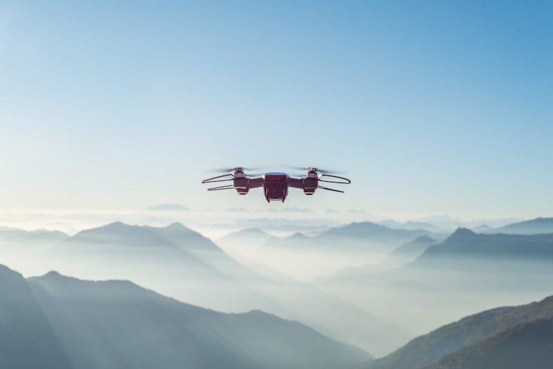
Military reconnaissance drones capture thousands of hours of video footage, but extracting actionable 3D terrain intelligence requires expensive ground-based LiDAR missions or classified satellite systems. Field commanders need real-time spatial awareness of operational environments — building layouts, terrain elevation, obstacle positions — but current pipelines take hours or days to process, and specialized equipment is vulnerable to detection and targeting.
SOLUTION:Standard camera-equipped drones stream video to the API, which returns dense 3D terrain reconstructions in near real-time. Field units receive accurate volumetric maps showing building heights, entry points, cover positions, and line-of-sight analysis — all from commodity drone hardware. No LiDAR signatures to detect, no specialized payloads to lose. The same pipeline processes helmet-cam footage for instant post-mission 3D scene documentation, enabling rapid tactical debriefing and evidence preservation.
Disaster Management & Search and Rescue
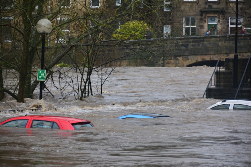
When earthquakes, landslides, hurricanes, or building collapses occur, first responders arrive at chaotic scenes with zero spatial awareness. Collapsed structures create unrecognizable terrain. Survivors may be trapped under rubble in voids that rescuers can't see. Traditional assessment requires structural engineers on-site — but every hour of delay reduces survival rates. Aerial photos provide only 2D overhead views, missing critical depth information about debris layers, void spaces, and safe approach routes.
SOLUTION:Responders deploy consumer drones or simply walk the perimeter recording smartphone video. The API returns a dense 3D reconstruction within minutes — revealing debris depth, identifying potential void spaces where survivors may be trapped, and mapping safe ingress paths for rescue teams. Incident commanders get a full volumetric model of the disaster zone on a tablet, enabling precise resource allocation: "Deploy Team Alpha to the 3-meter void at grid B7, approach from the north face where debris is thinnest." Sequential scans over hours or days produce 4D time-lapse models showing debris settling, structural shifting, and rescue progress — critical for predicting secondary collapses and protecting rescuer safety.
Precision Agriculture & Land Survey

Farmers lack affordable tools to measure crop height variation, drainage patterns, soil erosion, and irrigation coverage across large fields. Traditional methods require expensive multispectral LiDAR flights or manual ground surveys. Land surveyors need accurate volumetric measurements of stockpiles, excavation sites, and property boundaries — but total stations and RTK GPS setups are slow, costly, and require trained operators.
SOLUTION:Farmers walk their fields with a smartphone or fly a cheap camera drone over crops. The API returns 3D terrain models showing crop height variation, drainage flow paths, erosion gullies, and irrigation coverage gaps. Sequential scans across the growing season produce growth-rate heatmaps, letting farmers apply fertilizer and water only where needed — reducing input costs by up to 30%. Land surveyors get accurate volumetric measurements from a simple video walkthrough: stockpile volumes, cut-and-fill calculations, and boundary elevations — no specialized equipment required, results in minutes instead of days.
05_GET_STARTED
Ready to extract spatial intelligence from your video data?